


Geographical Influences
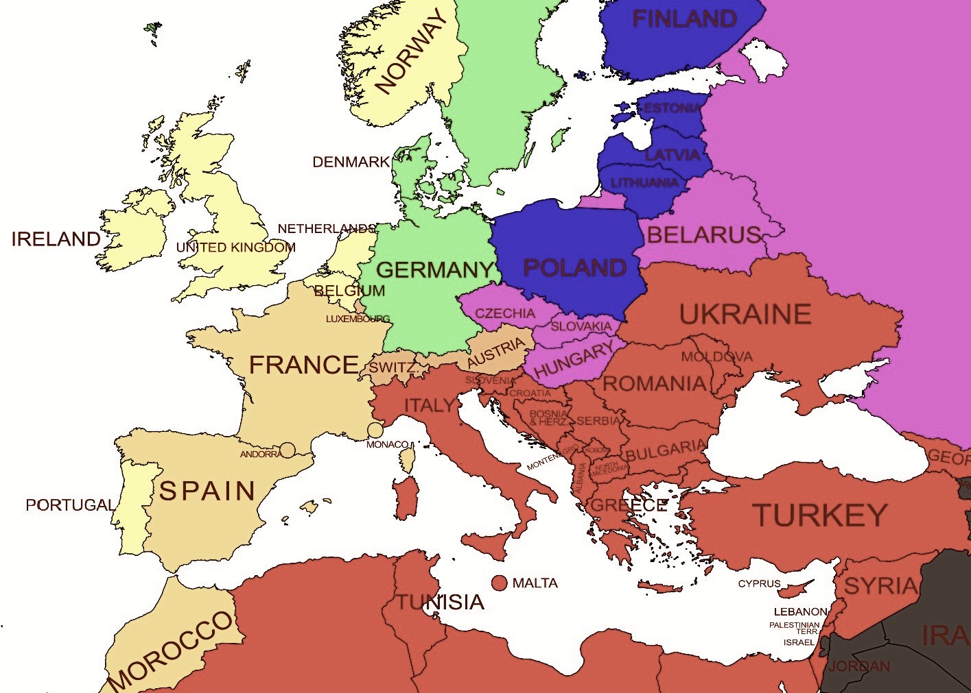
In this rudimentary version of my World Map, the countries of Europe are colour-coded according to which seas they border, which indicates their historical trade partners and national influences.

In this rudimentary version of my World Map, the countries of Europe are colour-coded according to which seas they border, which indicates their historical trade partners and national influences.
If you liked this, you may also be interested in:
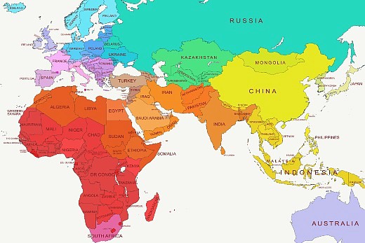
Maps I made to simplify the globe.
The continent from which Western civilization originates.

+20 pages about yours truly.

An overview of all subjects on the site.
Back to the homepage.

Business
Geography
History
Law & Politics
Linguistics
Psychology